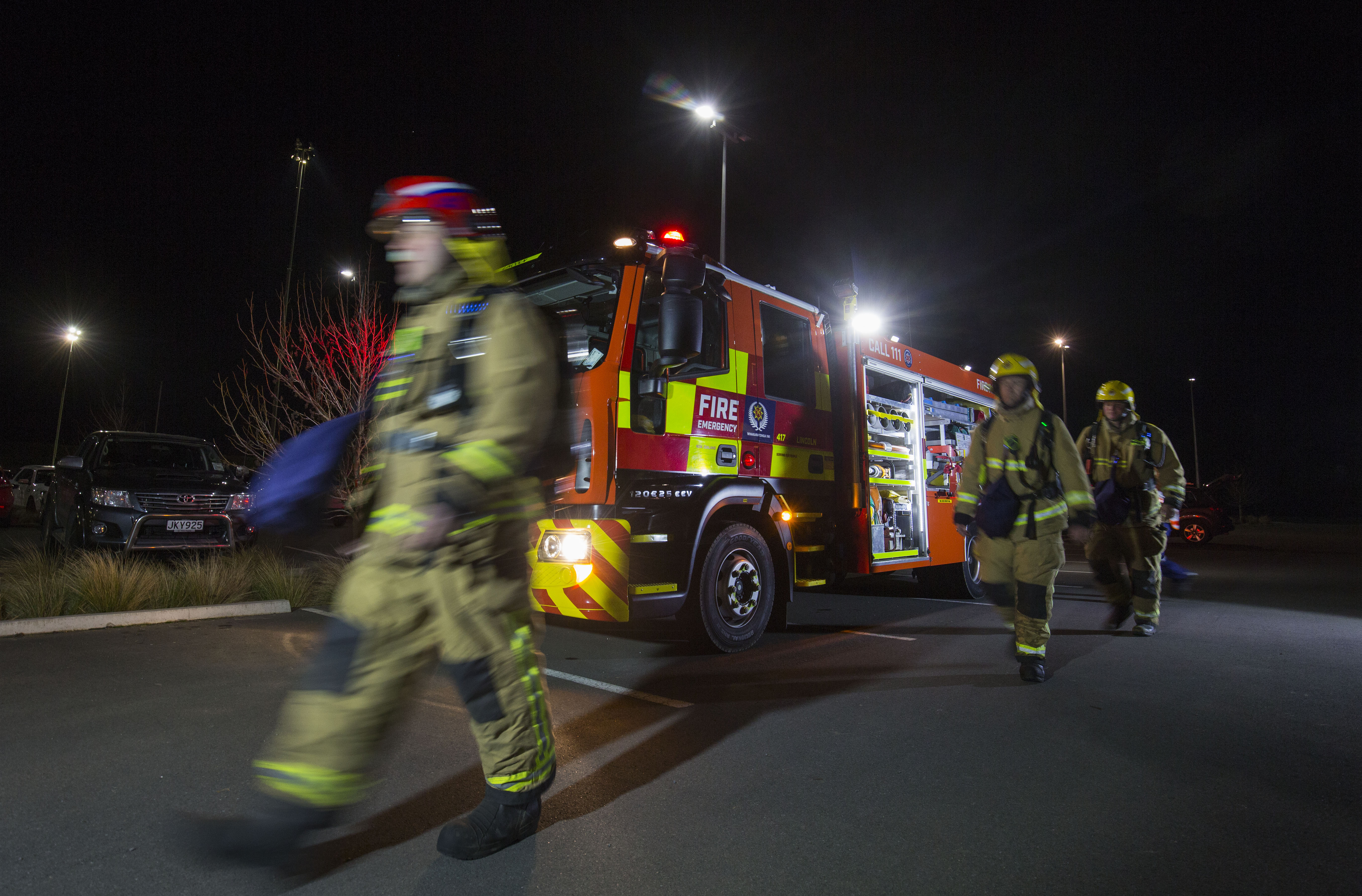
When Cyclone Tam hit Northland in April, Fire and Emergency New Zealand (FENZ) needed answers fast.
The storm’s 100 kilometres per hour winds wreaked havoc on cellular infrastructure and, with it, the ability to alert and mobilise volunteers through their Availability & Messaging System (AMS).
It was a real-time challenge for Craig Bedford, Telecommunications Manager at FENZ, and one that called for a new, smarter tool.
That’s when Next Generation Critical Communication’s newly developed Public Safety Network Cellular Network Visibility Service (NVS) proved its value.
Both the Auckland Regional Coordination Centre (RCC) and National Coordination Centre (NCC) were asking for updates on the status of One NZ and Spark networks.
Up until then, Craig says, FENZ would be in touch with contacts at Spark and One NZ or vice versa for that information.
But NVS removed the middleman, providing a clear geographic visual of the networks’ status directly.
Part of the Public Safety Network Te Kupenga Marutau, NVS provides a real-time map of mobile coverage, outages, and planned works across Spark, One NZ, and Rural Connectivity Group infrastructure.
Built on the ArcGIS platform, it integrates geospatial tools with live data to give emergency services unprecedented visibility of their communication environment.
“It gave me the ability to provide coverage maps for the RCC and NCC so they could see what was down and what wasn’t, meaning we had information on demand,” Craig says.
For FENZ, cellular coverage awareness is vital, and FENZ plans to expand NVS access to more personnel in coordination centres during emergency events.
And, Craig says, NVS isn’t just for reacting, either. It could soon support proactive planning, including the deployment of portable cell sites being delivered by Next Generation Critical Communications for the emergency services.
“We’re not going to have hundreds of deployable towers, but we might pre-position a few (for emergency response teams) in areas we expect to be hit. NVS can help us decide where they should go.
“It’s another tool in the kit that gives us real-time information, that we used to get slowly and manually, allowing us to act on it faster.”
Looking ahead, NVS offers a pathway to more agile, better-informed decision-making, without needing to rely on personal networks or off-the-record calls.

